MORE ADVENTURE. LESS WORRY.
Precise navigation meets global communication in the rugged GPSMAP 66i button-operated GPS handheld and satellite communicator1 featuring Garmin TopoActive mapping and inReach® technology.
See it in any light. Use it in any conditions. GPSMAP 66i was built for that.
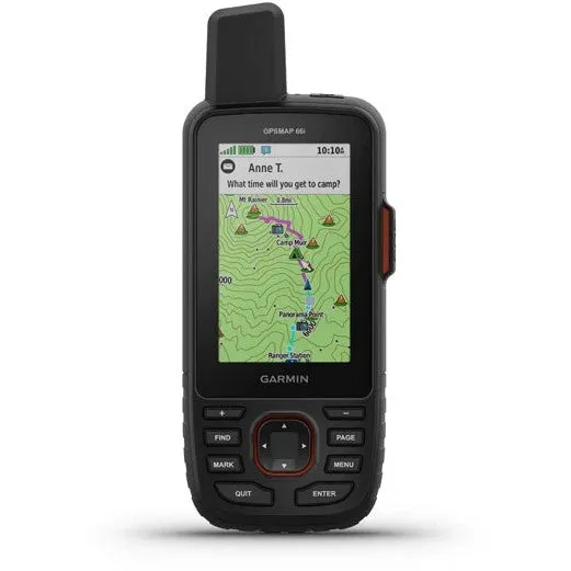
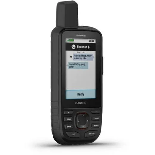
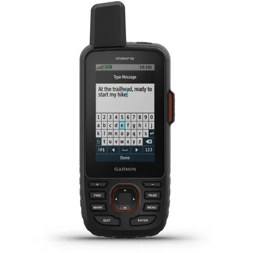
When cellphones can’t connect, inReach can. Communicate with confidence.
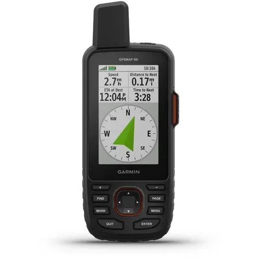
Multi-GNSS satellite support puts superior navigation at your fingertips.
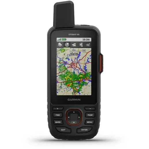
Get maps as pretty as a picture and just as detailed —without a subscription.
Know the terrain before you’re in it, with preloaded TopoActive maps of the U.S. and Canada.
Stay out there longer with up to 35 hours of battery life in tracking mode and up to 200 hours in Expedition mode.
MULTI-GNSS SUPPORT
Access multiple global navigation satellite systems (GPS and Galileo) to track in more challenging environments than GPS alone.
ABC SENSORS
Navigate every trail with ABC sensors, including an altimeter for elevation data, barometer to monitor weather and 3-axis electronic compass.
BIRDSEYE SATELLITE IMAGERY
Download high-resolution, photo-realistic maps directly to your device without an annual subscription. Easily find trails, pick stand locations, find parking, create waypoints and more.
PRELOADED TOPO MAPS
Preloaded TopoActive U.S. and Canada maps show you terrain contours, topographic elevations, summits, parks, coastlines, rivers, lakes and geographical points.
TWO-WAY MESSAGING
Exchange text messages with loved ones, post to social media, or communicate from inReach to inReach in the field (satellite subscription required).
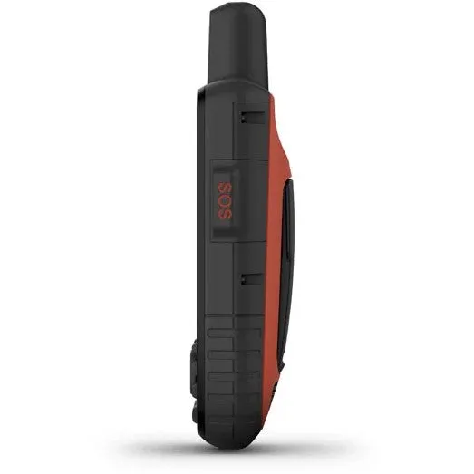
INTERACTIVE SOS ALERTS
In case of emergency, trigger an interactive SOS message to GEOS, a professional 24/7 global monitoring and response center (satellite subscription required).
LOCATION SHARING
Track your location, and share it with those at home or out in the field. They’ll be able to see your progress or ping your device for your GPS location and more (satellite subscription required).
100% GLOBAL IRIDIUM® SATELLITE NETWORK
Instead of relying on cellphone coverage, now your messages, SOS alerts and tracking are transferred via the global Iridium satellite network (satellite subscription required).
OPTIONAL INREACH WEATHER
Use inReach connectivity to get detailed weather updates on GPSMAP 66i or a compatible device paired with the Garmin Explore™ app. Request weather forecasts for your current location, waypoints or destinations on your route.
ACTIVE WEATHER
When paired with your compatible smartphone, you can get real-time forecast information and live weather radar, so you’re always aware of the surrounding conditions.
BUILT FOR ADVENTURE
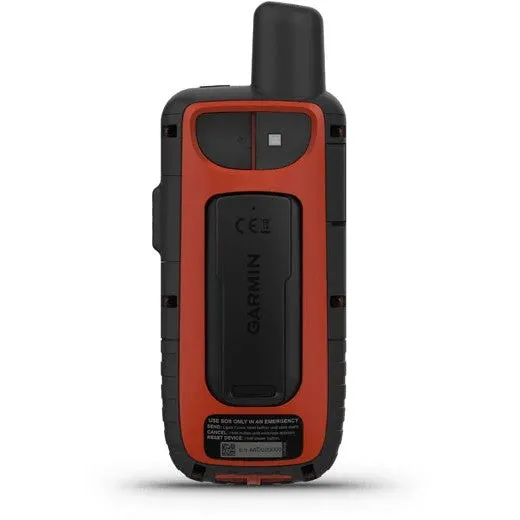
This handheld is built to military standards for thermal, shock and water performance (MIL-STD-810), and it’s even compatible with night vision goggles.
LED FLASHLIGHT
The GPSMAP 66 series helps you keep gear to a minimum with a built-in LED flashlight that can be used as a beacon to signal for help.
GARMIN EXPLORE APP
Plan, review and sync waypoints, routes and tracks by using the Garmin Explore mobile app and website. You can even review completed activities while still in the field.
BATTERY LIFE
Turn on Expedition mode, and get up to 200 hours of battery life while using inReach technology. In the default tracking mode, you get up to 35 hours of battery life, and your device will save your location every 10 minutes.
Accessories Included from Factory:
- GPSMAP 66i GPS Handheld and Satellite Communicator.
- Access to Birdseye Satellite Imagery.
- USB cable.
- Carabiner clip.
- Documentation.
[manual action="open"]
DOWNLOAD: Instruction Manual (English)
DOWNLOAD: Instruction Manual (Spanish)
[manual action="close"]


")


